Hello,
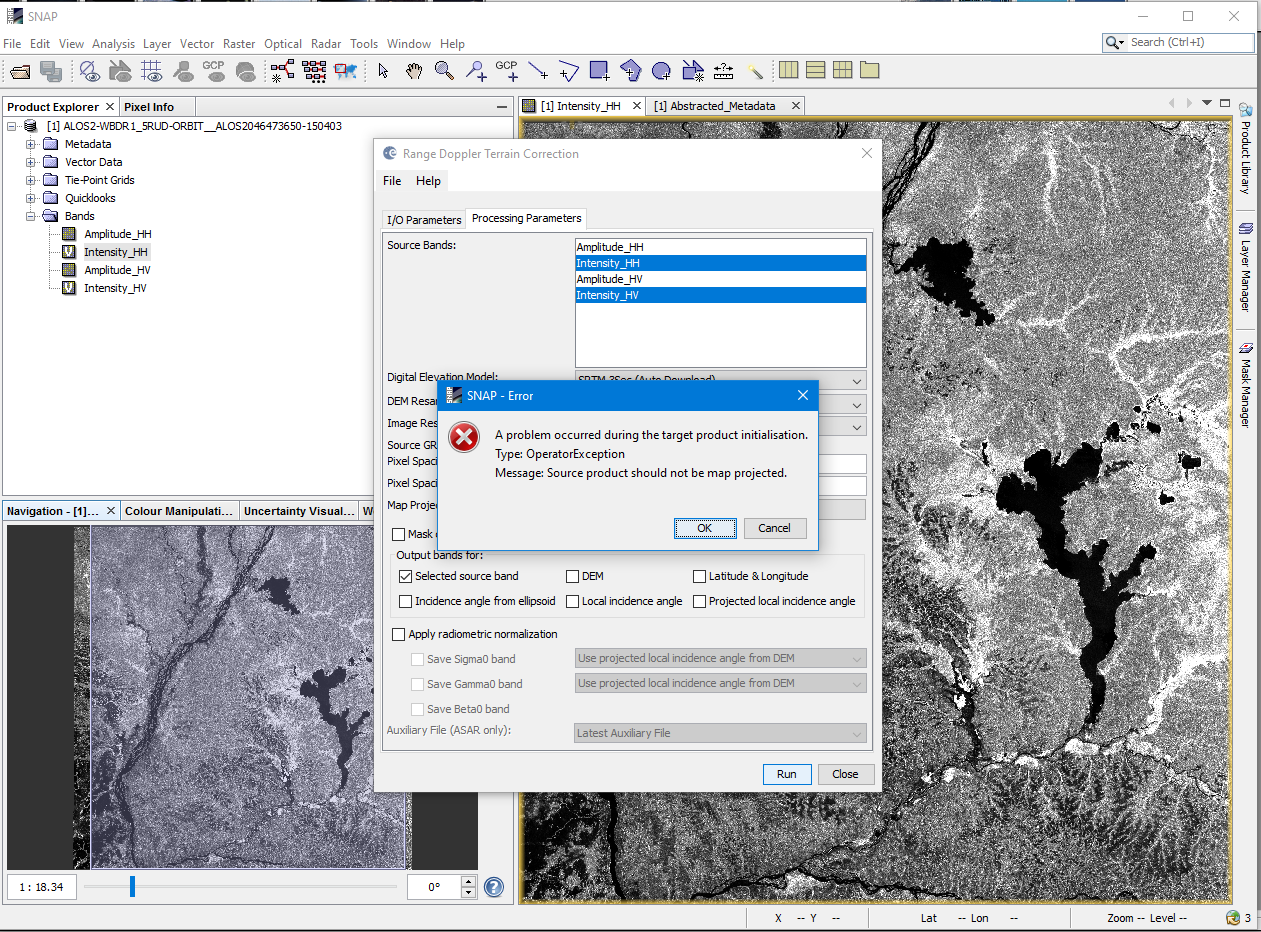
I have some problems to execute the function “Range-Doppler Terrain Correction” in SNAP with ALOS 2 PALSAR 1.5 images in 5RUD format. When I try to run, I have this message : “Source product should not be map projected”.
I also tried this operation in other softwares but it didn’t work. Would anyone have a solution?
Thanks,
Régis.