I am trying to follow the same procedure as is described in this paper: Remote Sensing | Free Full-Text | Sentinel-1 SAR Amplitude Imagery for Rapid Landslide Detection
It measures changes in b0 values by using log ratio change detection on a stack of two SLC images which have been calibrated to detect rapid landslides. I was actually able to make it work one time so far with one of the landslides described in the paper. I used the following workflow:
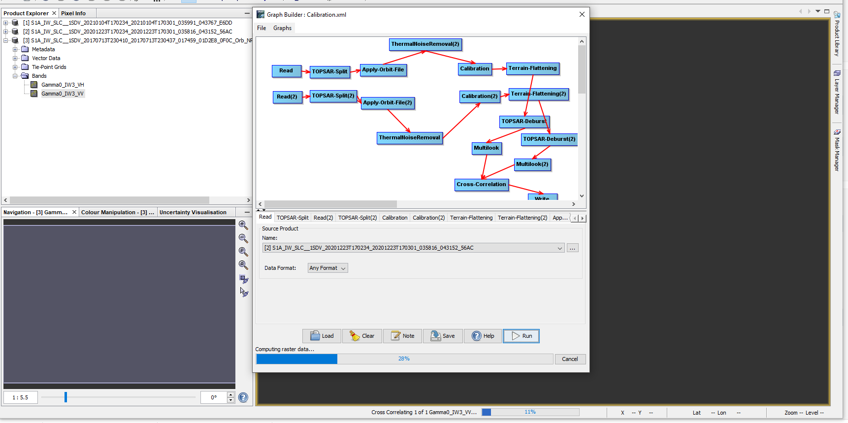
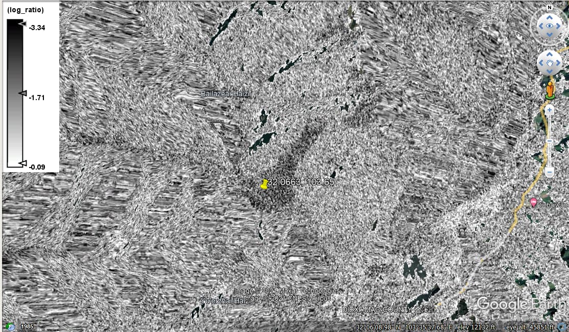
After executing the graph tool, I used log ratio change detection on the coregistered images and applied RD terrain correction and exported to google earth. I type in the coordinates of the known landslide location and observe:
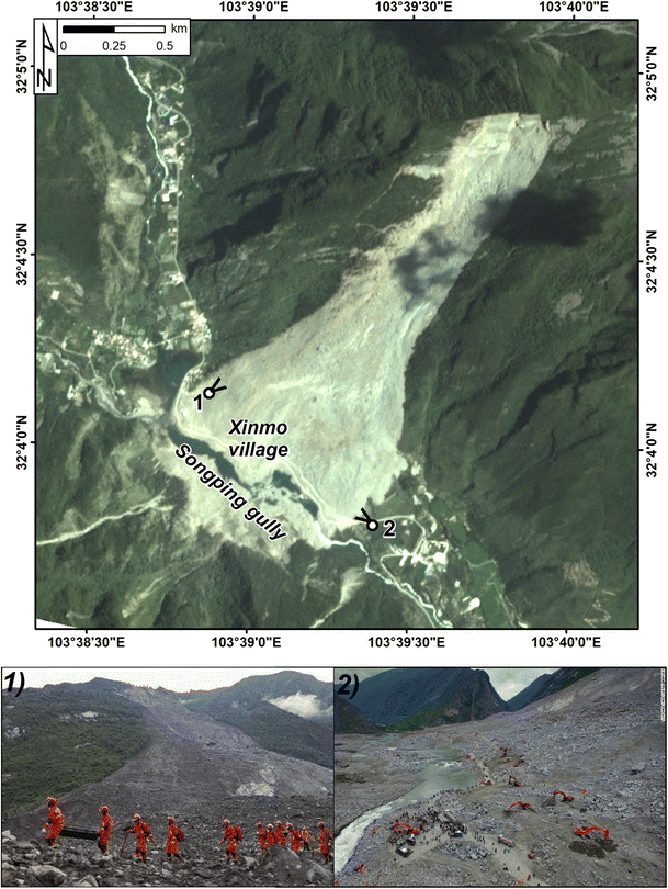
Compared to satellite imagery of the known landslide:
The problem now is that I tried to execute the same workflow on a different landslide location and am getting the error “org.esa.snap OperatorException” or something like that.
edit: “org.esa.snap.core.gpf.OperatorException”