Hi, I am a new SNAP user trying to do a Random Forest Classification.
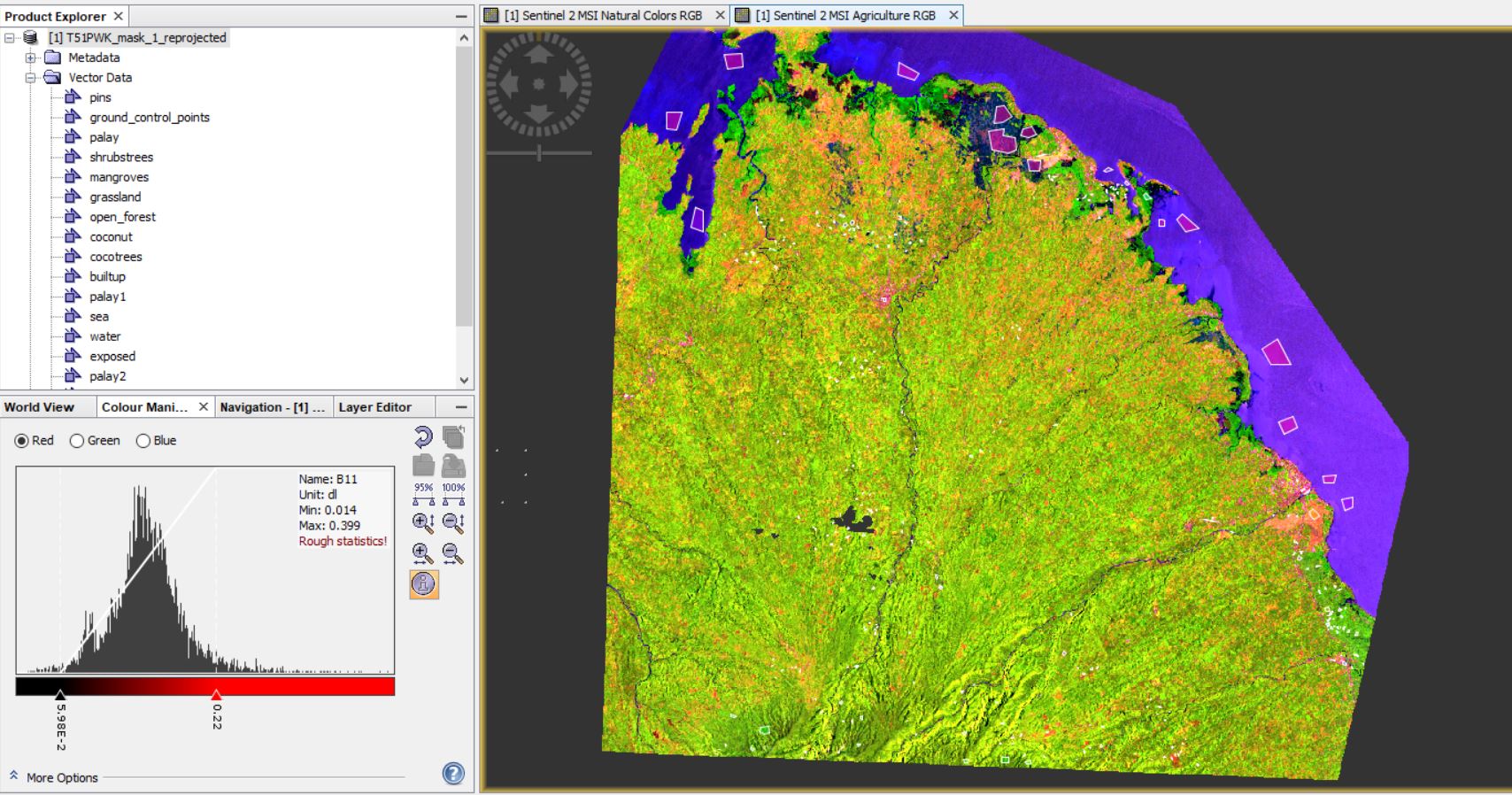
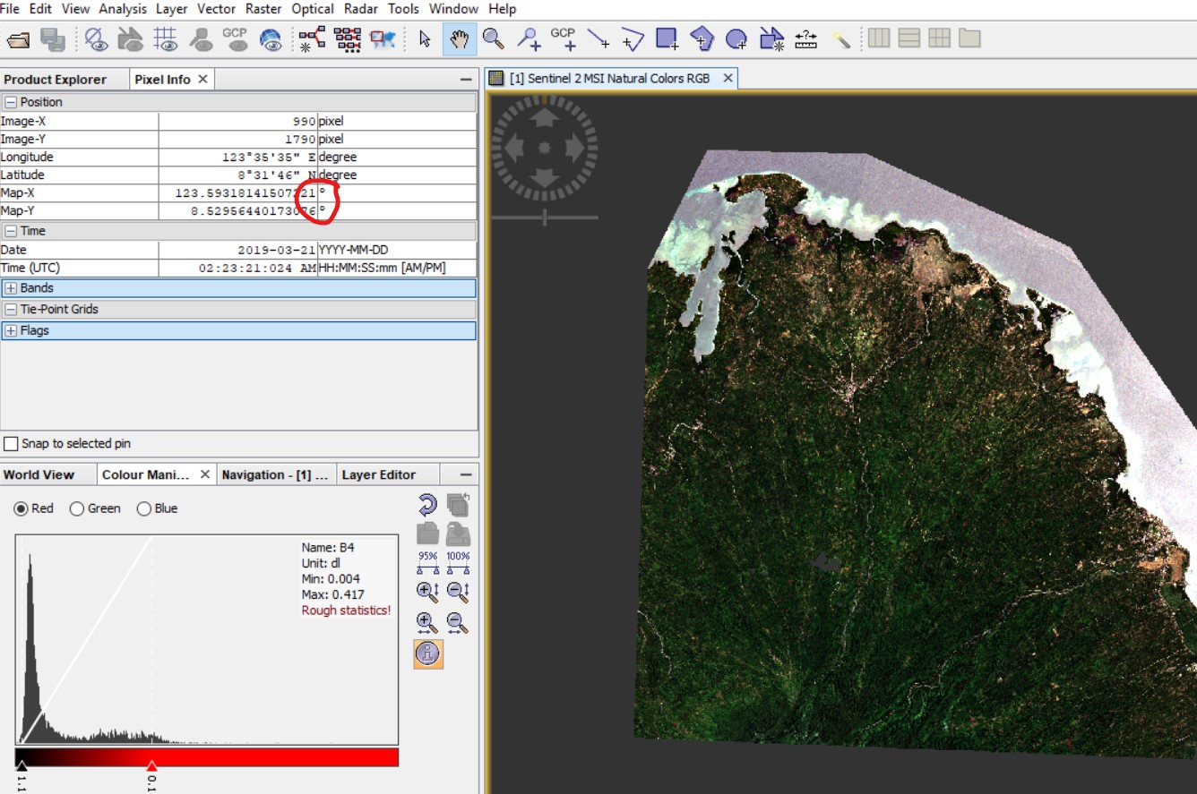
For that, I preprocessed the image I want to classify and I created a shapefile with the ROI in QGIS.
I am trying the train on vectors classification. For that, I have found the following problems or doubts:
What do I need to put in -vector training , training vectors-? (which file and its format)
I thought I should put my ROI shapefile or something like this, but, I cannot open any shapefile with the program. (please let me know how to open them)
2- What do i need to put in -feature selection, feature bands-? (again file and format).
After all, i ended up with this another error: javax.imageio.IIOException: 16-bit samples are not supported for Horizontal differencing Predictor what does it mean?
To avoid the "javax.imageio.IIOException: 16-bit samples are not supported for Horizontal differencing Predictor " error I introduced all the individual bands I want to do the classification to (it is a total of 29 bands); then I imported my AOI (polygon shapefiles) while selecting one of those bands, then I finally was able to run the classification.
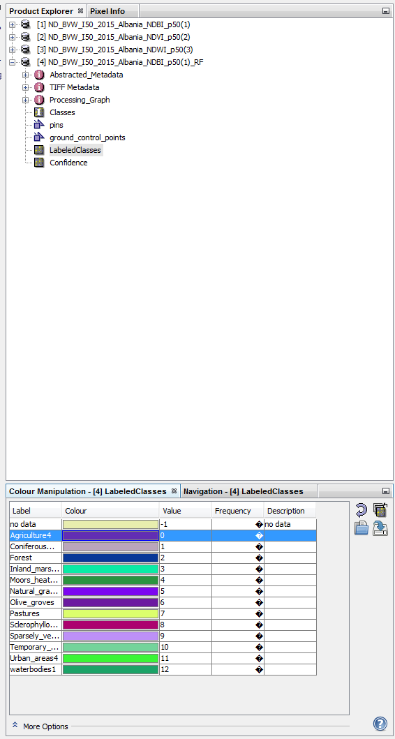
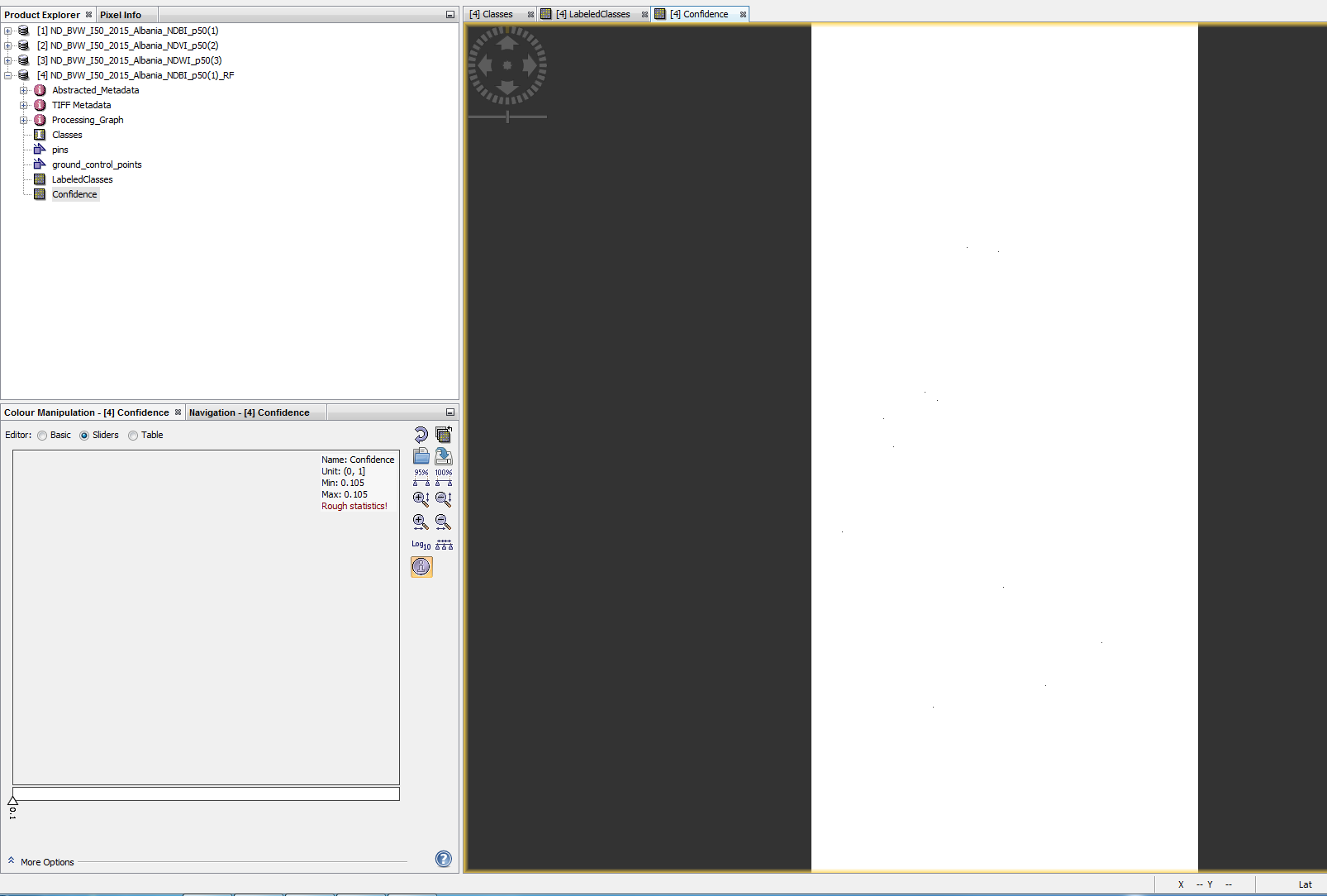
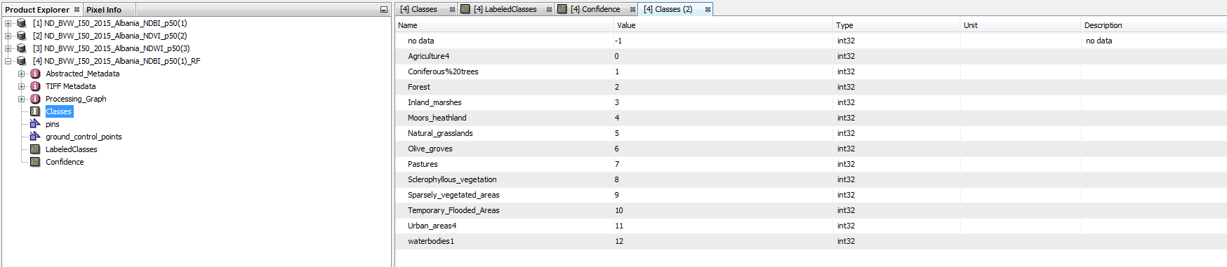
Everything seemed to work well except for the results; I ended up with 2 bands: LabeledClasses and Confidence. When I export this file into a tiff, I obtain a black image without data. The same happens in SNAP.
For the classification i am using 29 raster bands, belonging to 6 different rasters: NDVI, NDBI, NDWI percentil 50 and 90, sentinel 1 and sentinel 2 images and tasseled components images aswel.
The AOI are shapefile polygons created with QGIS and I am importing them into my first raster band
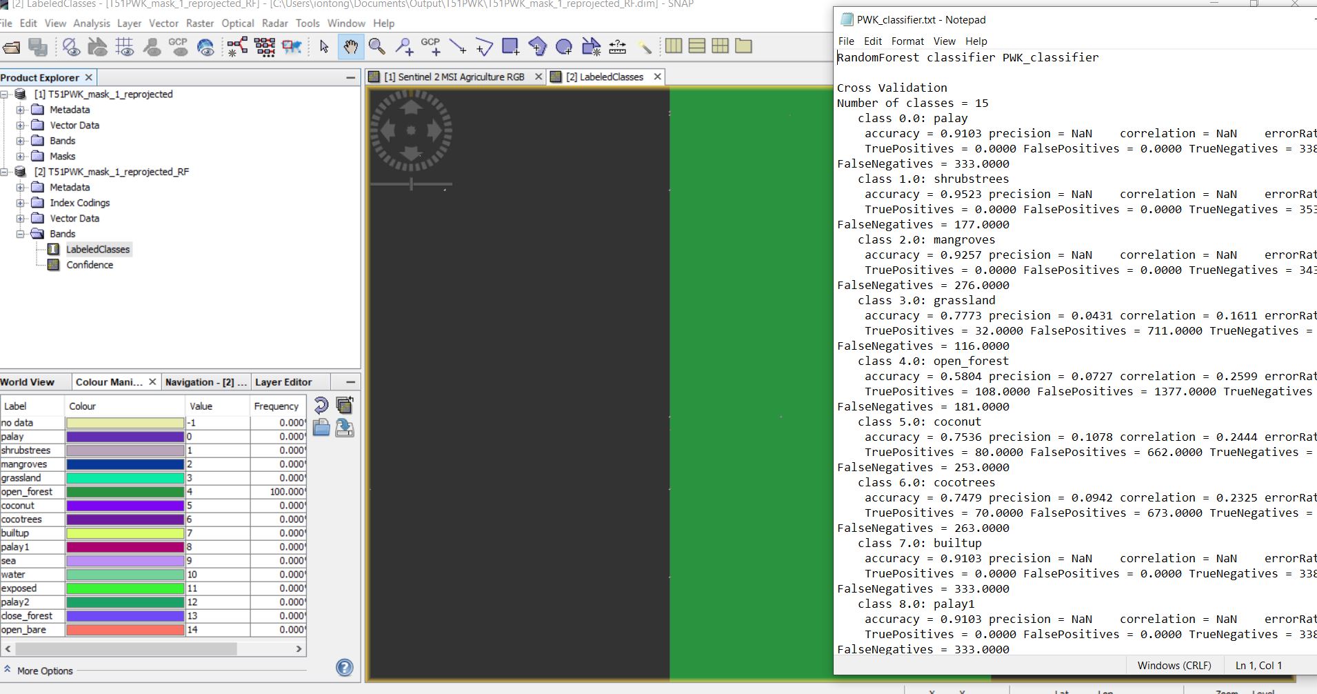
looks alright so far. There is no upper limit for training samples, so the produced map should show at least some class variation.
Which bands did you select as input features?
I’ve been using SNAP to compare the results of Random Forest classifications of Landsat’s 8 and 9. Both images have different number of pixels, so I can’t band math them. How can I solve it?
Also, is there a way to turn these LabeledClasses images to a shapefile or vector data?