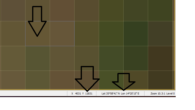
I need to export the rgb data in numerical form for each pixel plus the x,y co-ordinates
plus the lat and long data in a txt file. (pls refer to image) Is there an available function which can help me here.
You can do the following:
- Create a subset containing only the three RGB bands.
- Create a mask cover the whole image (expression = ‘true’)
- Open one of the bands (not the RGB)
- Export the mask pixels. Select from the context menu of the image view the item ‘Export Maks Pixels’.
The export takes some time.
Faster, but more steps:
- Create a subset containing only the three RGB bands.
- Add new Bands with Band Math
- band name = latitude; expression = LAT
- band name = longitude; expression = LON
- band name = pixelX; expression = X
- band name = pixelY; expression = Y
- Export as CSV file. Menu: File / Export / CSV
This is how the output will look like (just the first lines):
#sceneRasterWidth=1830
featureId	B2:float	B3:float	B4:float	latitude:float	longitude:float	pixelX:float	pixelY:float
0	0.0979	0.0582	0.0409	37.94732	21.000114	0.5	0.5
1	0.105	0.0655	0.0441	37.94732	21.000797	1.5	0.5
The second approach is the one I would suggest. The mask export is to slow. I’ve added this as an issue to our bug tracker (SNAP-932).
1 Like
Thanks Marpet