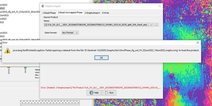
Hi i’m working with snappy and my scripts works so well until when i arrive at 2010 file. After that moment in my terminal apears the error:
Traceback (most recent call last):
File “./complete_output_file.py”, line 67, in
ProductIO.writeProduct(result,outDir,outForm)
RuntimeError: java.lang.NullPointerException
My script is:
#!/usr/bin/python

import sys
import glob
#import netCDF4
from netCDF4 import Dataset as ncDataSet

import snappy
from snappy import ProductIO
from snappy import GPF
import numpy as np
import os
# region

if len(sys.argv) >= 1:
    region = sys.argv[1]
else:
    sys.exit("Incorrect number of arguments for " + sys.argv[0])

# TOA path files
path=region + '/data/*'

list=sorted(glob.glob(path), key=os.path.getmtime)
#list=glob.glob(path)

for e in range(len(list)):

    # open netcdf file to know TOA file

    ncFile=ncDataSet(list[e],'a',format='NETCDF4')
    TOA=ncFile.__dict__['l1_file']

    # Just execute if file is not processed

    if 'sst_nadir' in ncFile.__dict__ :


        nom=TOA[17:76]


        # SNAP - Optical - Thematic water Processing - (A)ATSR SST Processor


        source=ProductIO.readProduct(TOA)
op_spi=GPF.getDefaultInstance().getOperatorSpiRegistry().getOperatorSpi('Aatsr.SST')

param_Desc=op_spi.getOperatorDescriptor().getParameterDescriptors()

        #for param in param_Desc:

        HashMap=snappy.jpy.get_type('java.util.HashMap')

        parameters=HashMap()


        parameters.put("dual","false")
        parameters.put("nadir","true")
parameters.put("nadirCoefficientsFile","AVERAGE_POLAR_SINGLE_VIEW")
parameters.put("nadirMaskExpression","!cloud_flags_nadir.LAND")
        parameters.put("invalidSstValue","-999.0")
result=snappy.GPF.createProduct('Aatsr.SST',parameters,source)

        #outDir='/mnt/lustre/scratch/'+nom+'.nc'
        outDir='/home/masdeu/'+nom+'.nc'
        outForm='NETCDF4-CF'
        ProductIO.writeProduct(result,outDir,outForm)

        start=ncFile.__dict__[u'start_line']
        end=ncFile.__dict__[u'end_line']

        ncFile2=ncDataSet(outDir,'r',format='NETCDF4')
        sstCor=ncFile2.variables['nadir_sst']
        lati=ncFile2.variables['latitude'][:]
        loni=ncFile2.variables['longitude'][:]

        A=sstCor[start:end+1,:]
        B=lati[start:end+1,:]
        C=loni[start:end+1,:]

# TOA processed result has a mirror effect, for that reason we use a fliplr command before save the result in the final file

        E=np.fliplr(A.data)
        lat_TOA=np.fliplr(B)
        lon_TOA=np.fliplr(C)

        #sst_cell=ncFile.variables['sst'][:]
        lat_cell=ncFile.variables['lat'][:]
        lon_cell=ncFile.variables['lon'][:]

        #rmse between ghrsst and toa
        rmse_lat=np.sqrt(((lat_TOA-lat_cell)**2).mean())
        rmse_lon=np.sqrt(((lon_TOA-lon_cell)**2).mean())

        if rmse_lat>=0.005 or rmse_lon>=0.005:
            print('ATENTION! LAT-LON DISTANCE>=500m')
            ncFile.rmse_lat = rmse_lat
            ncFile.rmse_lon = rmse_lon
        else:
            ncFile.rmse_lat = rmse_lat
            ncFile.rmse_lon = rmse_lon
        # Write sst values from Corrected TOA to original netCDF
        ncFile.variables['sst'][:]=E

        del ncFile.sst_nadir

        write=list[e] + ' Complete'
        print(write)
        ncFile.close()
        ncFile2.close()

        os.remove(outDir)
        print("File Removed!")
    else:
        write=list[e] + ' SST added'
        print(write)
you have some idea?
thank you!


