Is there any way in SNAP to clip the image through an available clipping shape file rather than giving the coordinates of the area of interest manually?
Hi everyone,
Recently, I downloaded Sentinel 1 - SAR image. When I open file in SNAP, location of my study area was reversed. I think there is something wrong here. Anyone can explain for me and give me solution.
Dear all,
Firstly, thank you Mengdaht,
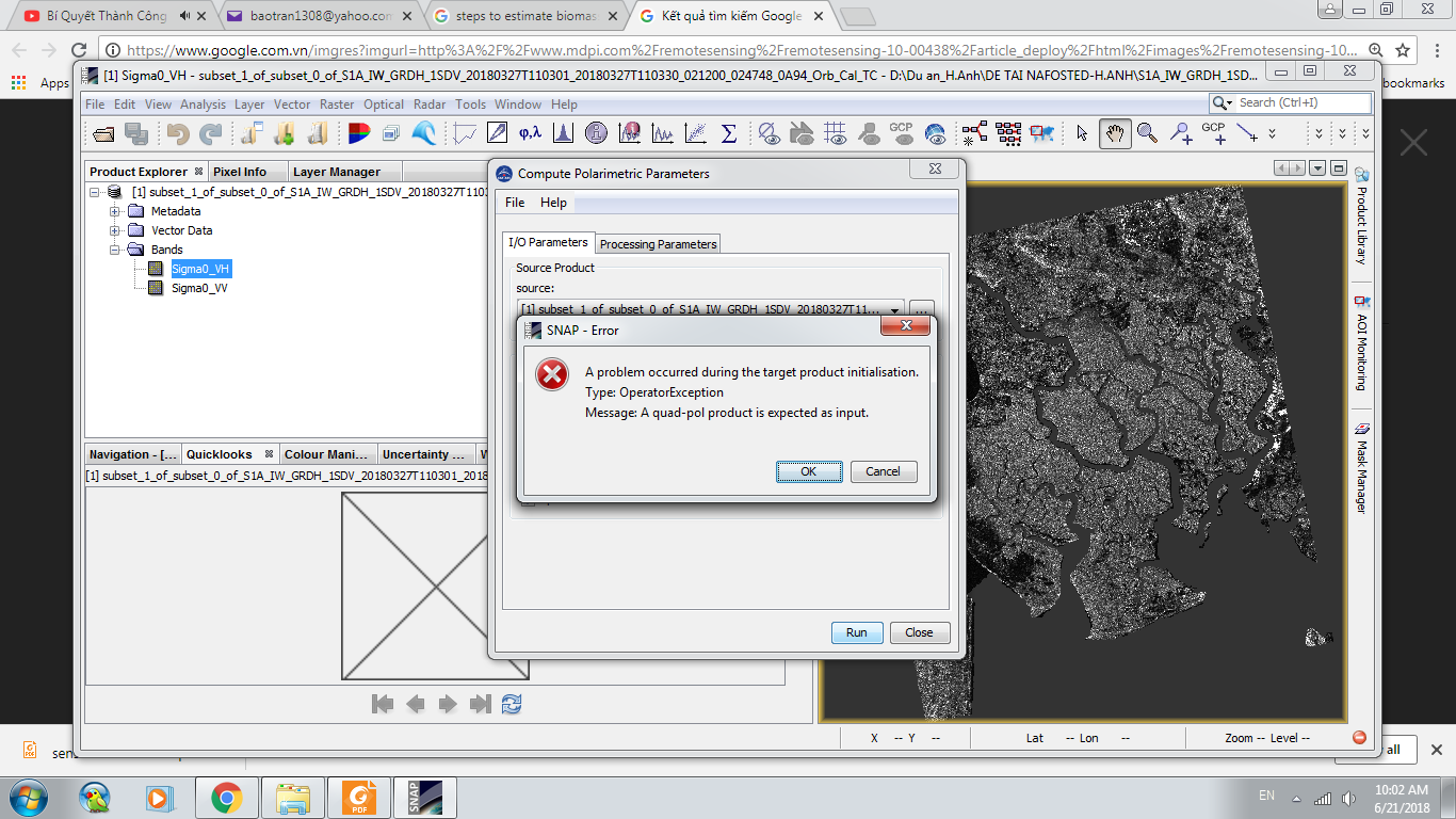
I used terrain correct and my image was right in shape.
However, when I used image corrected terrain to analyse polarimetric parameters in SNAP, it appear this message. Anyone can help me.
Thank you in advance
I am so sorry. I cant find the answer about to clip the image through an available clipping shape file rather than giving the coordinates of the area of interest manually?