Hi there,
I downloaded the following scene from scihub
S2A_OPER_PRD_MSIL1C_PDMC_20160817T180350_R008_V20160816T104022_20160816T104025
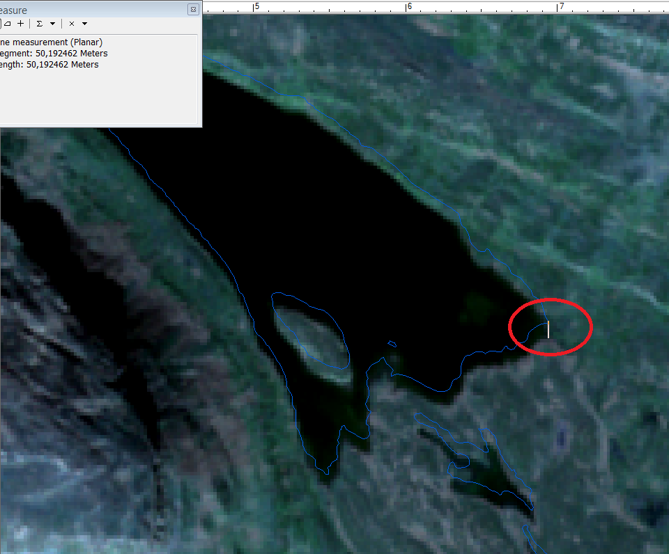
I used sen2cor for correcting the atmospheric effects for one granule (T34WBD), located in northern Fennoscandia. I then created a raster stack in R using the raster package, and exported the multiband raster to GIS software. At this point I noticed that the product has a shift of almost 50 m southward, when compared to lake-polygons, which should be geometrically accurate. The shift seems to be systematic throughout the scene. To ensure that the lake poloygons were in place, and that I haven’t messed up with coordinate systems and transformations, I compared the polygons to Landsat 8 imagery, and the lakes did align perfectly there. Here is an image about the shift:
Am I doing something wrong here, as the accuracy is much worse than I expected *.