Hey all,
I am working with Sentinel 3 Data to create monthly composites (LST, NDVI, NDII). I noticed an offset on a few composites (this becomes recognisable e.g. through suddenly parallel running rivers) so I looked through the individual images I had processed and stumbled across a shift on a few images. I continued to look at the raw data in SNAP:
One misplaced image is: S3B_SL_2_LST____20210203T071601_20210203T071901_20210204T195744_0179_048_334_2880_LN2_O_NT_004
For comparison I used: S3B_SL_2_LST____20210202T074212_20210202T074512_20210203T133325_0179_048_321_2880_LN2_O_NT_004 (this one is fine like most of the others).
I opened them in SNAP and performed:
Raster > Geometric > Reprojection > EPSG 4326
as well as:
Raster > Geometric > Mosaic
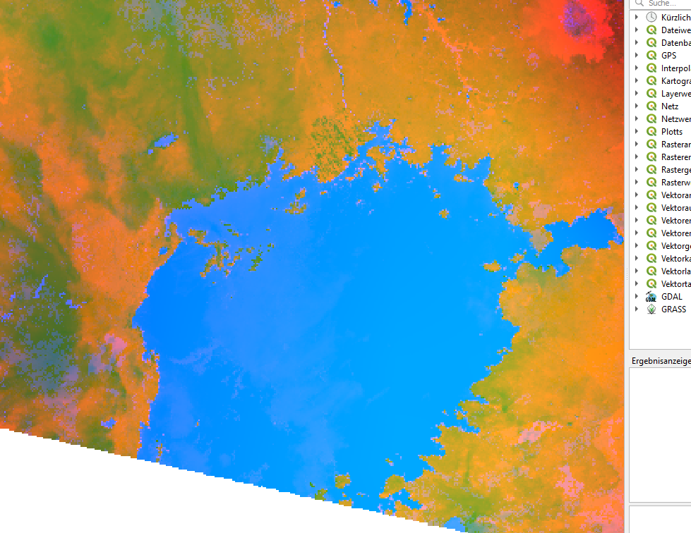
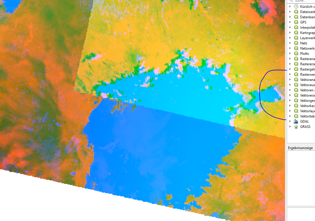
In the Mosaic you can see a shift to the left! (2 rivers run parallal) (It does not make a difference if I first reproject > mosaic or mosaic > reproject)
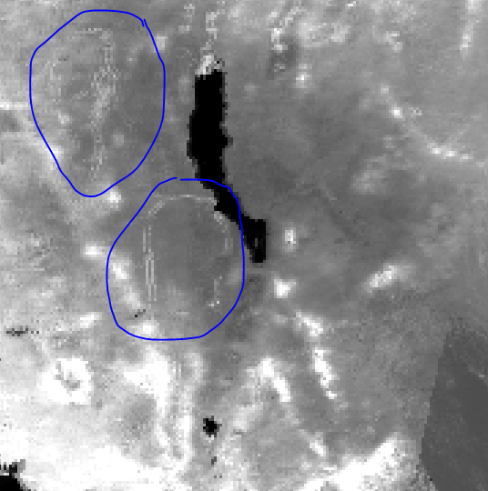
In QGis I can see the same shift to the left when putting the images on top of each other.
A few of my composites look like that…
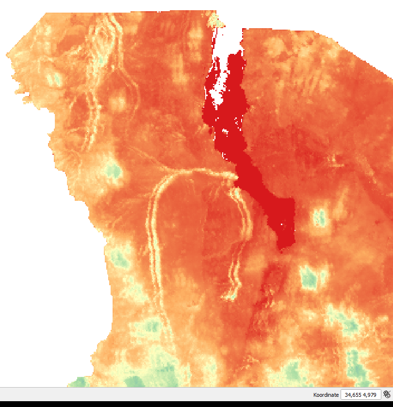
I noticed this kind of shift in a few other images from different dates as well. What could be the reason behind it?
Is this caused by Sentinel 3 itself?
Within my research I didn’t really find anything comparable and a recurring offset like this should have already caused discussion. However, I could not explain how I am responsible for this error.
(this is the only comparable question I found so far: OLCI level 1 raw data geo-offset along GreatLakes?)
I already posted here but did not get an answer yet coordinate system - Sentinel 3 image offset - Geographic Information Systems Stack Exchange
If this is not the right place to create this topic please let me know. Thank you for your help!