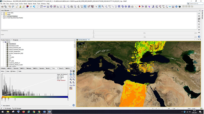
How can I process soil moisture data using the SNAP program? What can I do? I want to make a soil moisture map of my country. My homework time is short. Can you help me?
1 Like
If you just need a quick map of soil moisture, these approaches might be sufficient:
- Download and Extract Soil Moisture Data from Sentinel 1 and SMAP using ArcGIS Desktop
- Soil moisture retrieval
Also: Can anyone tell me how retrieve soil moisture using SMOS algorithm in SNAP
1 Like
Maybe I was too strict in this post:
A binning or a mosaic is probably possible, afterwards a shapefile of your country can be used to mask the data. But this is only technically spoken. No guarantee that ii is scientifically correct.
1 Like
http://www.esa.int/Applications/Observing_the_Earth/SMOS/Czech_Republic_drought_visible_from_space If I want to do something like in this link, how can I do it?
well, the tutorials above are two examples to get the soil moisture content at national scale.
1 Like
