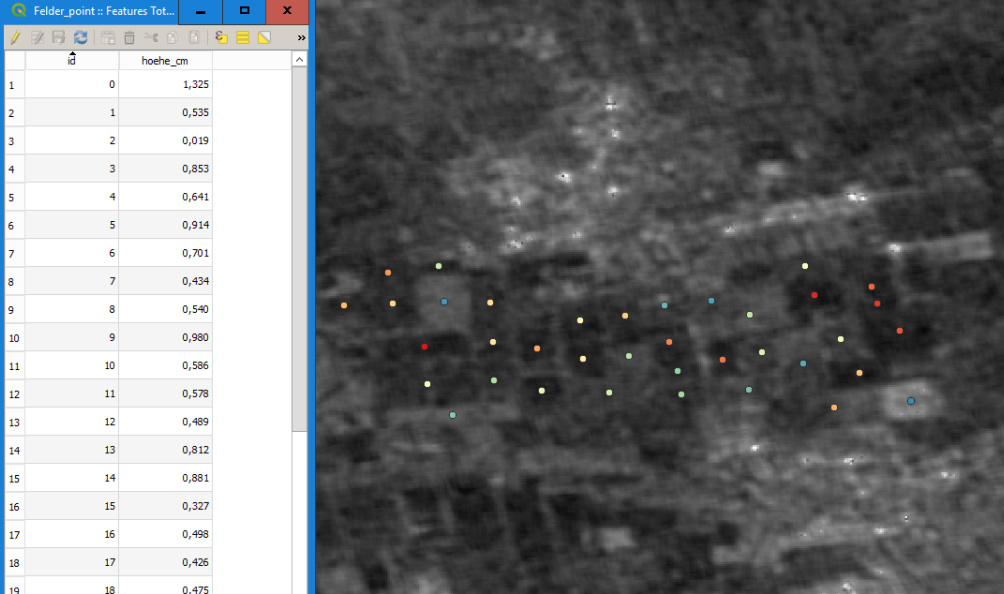
First you need a shapefile with numerical values (hoehe_cm in my case)
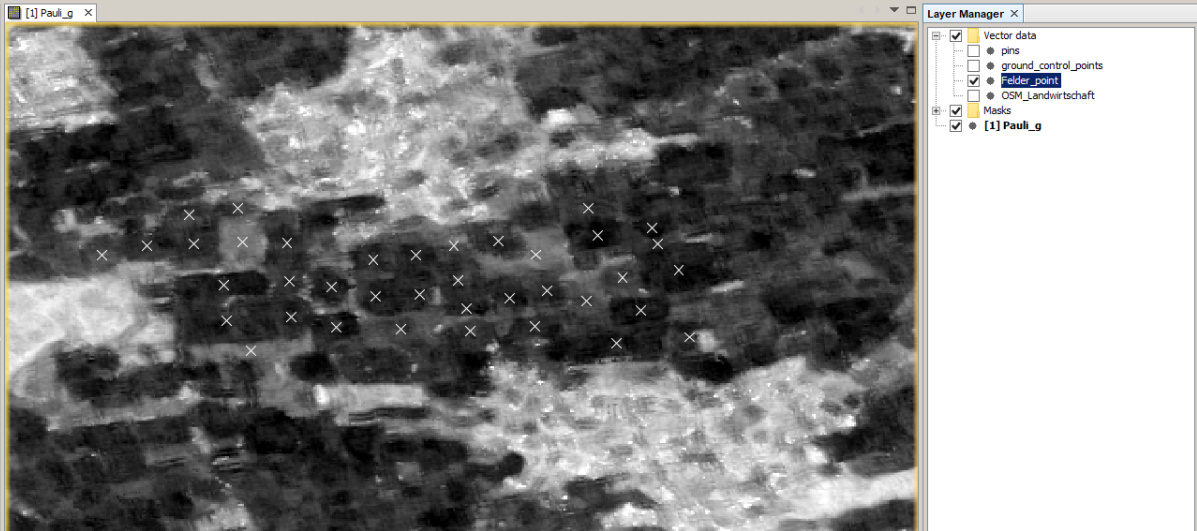
Load it into SNAP and overlay it with your SAR data
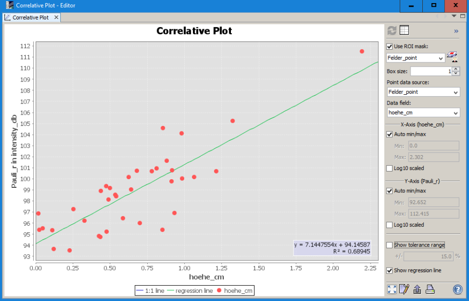
Then open the correlative plot view ![]()
Select the point shapefile and the attribute and correlate the raster values with the point information