Hello everyone,
Please help to find soil moisture mapping using S1_SLC and s1tbx. I am using this paper for my reference:
https://www.google.com/url?sa=t&rct=j&q=&esrc=s&source=web&cd=1&ved=2ahUKEwillf3O2oriAhUP6nMBHf05DwAQFjAAegQIAhAB&url=https%3A%2F%2Fwww.researchgate.net%2Fpublication%2F326325878_Soil_Moisture_Mapping_Using_Sentinel-1A_Synthetic_Aperture_Radar_Data&usg=AOvVaw2IoU17ZUABqINVwVyZhQgU
In this paper: S1 SLC to GRD (>>Read>>Radiometric Calibration>>Thermal Noise Removal>>TOPSAR Deburst and Merge>>Multilooking>>Range Doppler Terrain Correction>>Sentinel-1A Data)
But still error in Thermal Noise Removal : java.lang.NullPointerException
Does anyone else have this problem?
Regards
The study uses SLC data corrected to ground range (GRD). To my opinion you could skip these steps and directly apply the formulas to the backscatter coefficient derived from GRD products.
Agreed, GRD is the much better solution, saves a lot of processing that is useless if one does not need the phase later.
Thanks for your response,
I found many references for backscatter coefficient.
step to found the backscatter coefficient is
Read>>Subset>>Speckle-Filter>>Calibration to Beta0>> Linear To/Form dB>> Terrain-correction
OR
Read>>Orbit File>>Calibrate to Sigma0 >> Speckle Filter >> terrain correction>> Linear To/Form dB?
Regards.
What do you think about the following steps,
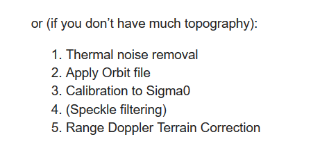
Concerning to Linear to dB,
I want to make this steps, but error
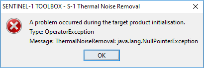
What can I do?
The best way is to use search as below, and find the best solution for your case, because this error is discussed a lot,
I’m beginner for SAR data.
I have learned about it, but I really don’t understand how to fix this problem
Please help tell me how to fix this problem.
regards
If you are a beginner you should first get used to GRD-images, as they are much simpler and faster to handle.
Yes, Sir . I am using GRD Image Product now. But When I want Thermal Noise Removal, it is error step. Can I skip this process sir?
Regards
Please look at the SAR tutorials and make sure you have installed all of the toolbox updates.
Thanks for information
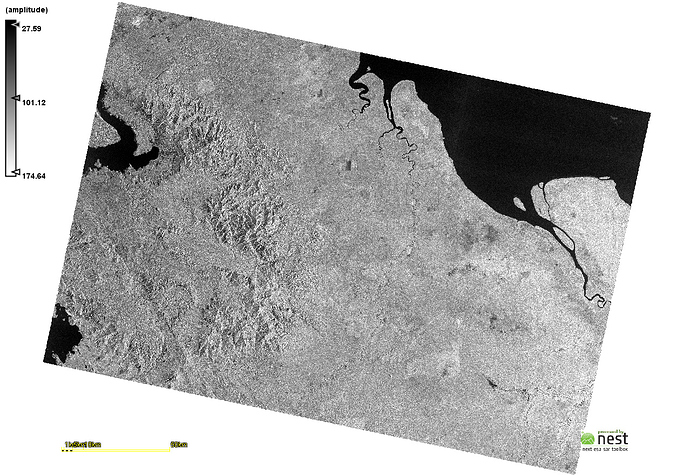
After do step until Range Doppler Terrain Correction
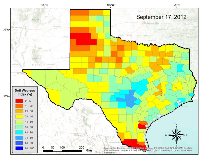
What next step to find color for value of soil moisture data. Like this picture:
Regards
there is no direct transfer of backscatter intensity to soil moisture. Please go through the suggestions made here: Soil moisture mapping using Sentinel-1-Data and SNAP? and here Soil moisture identification -Sentinel
This could be helpful as well,
How to Download Daily Soil Water Index from Copernicus Global Land Service
Determination of Soil Moisture for a Region Using open Source Data
Thank you for information
Can you help me to find paper or reference to calculate soil moisture with GRH product.
Regards
@johngan has given very valuable comments and literature references here: Soil moisture identification -Sentinel
Thanks for your response
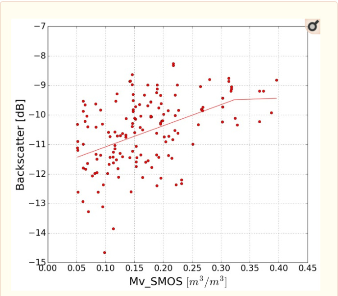
you need a shapefile with attributes (moisture), import it in SNAP and use the correlative plot view.
how can i get shapefile sir?

