I want to read that the area around the river is flooded.
However, the area around the mountain is also colored red and blue, and the damage is not clear.
How can I get better results?
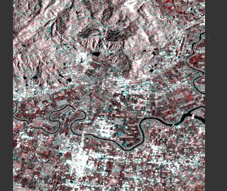
At the moment, changes in land cover superimpose the backscatter variations caused by temporary water. I see no indication of flooding in your example.
Does one of the images contain the flood event?
Can you see the flood in the single image?
What is the time difference between both images?
Are both images acquired from the same track?
The flood occurred on 2021.8.15.
It was done in two periods, 8.4 and 8.16.
Looking at the metadata, I think the track is the same.
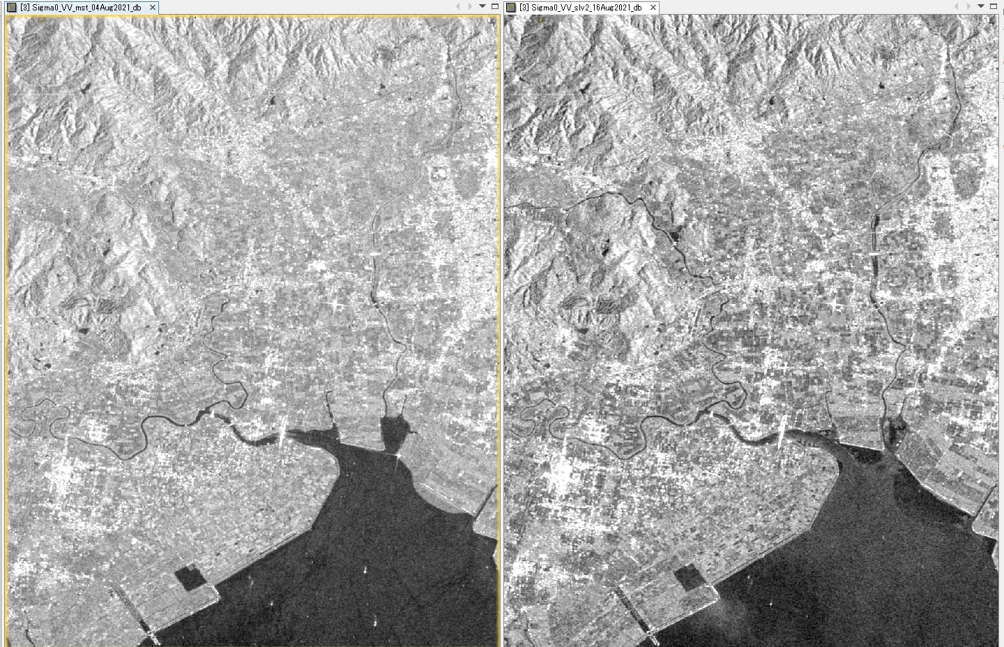
so there are nearly no additional open water areas in the flood image. In the easiest case, these areas are as black as the sea surface and therefore the difference is larger. In your case, the entire image looks a bit darker and the question is if this was caused by phenology or water under the vegetation. Whats the predominant land use in these darker areas?
Please have a look here
- https://forum.step.esa.int/t/flooded-vegetation/27372/2https://forum.step.esa.int/t/flooded-vegetation/27372/2
- SLC or GRD for Water-logging in urban areas
- Flooded Vegetation
- VV and VH Polarization
- Towards Sustainable Land Uses within the Elbe River Biosphere Reserve in Lower Saxony, Germany by Means of TerraSAR-X Images