I have tested your issue for a simple case (only 2 products - makes no sense but is technically the same)
Reproduction of your error
- Split IW1
- Split IW2
- Backgeocoding IW1
- Backgeocoding IW2
- ESD IW1
- ESD IW2
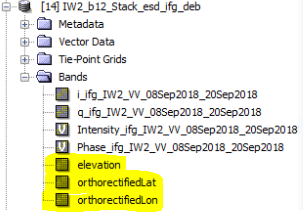
- Inteferogram IW1 (including export of lat/lon/dem)
- Inteferogram IW2 (including export of lat/lon/dem)
- Deburst IW1
- Deburst IW2
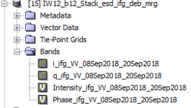
- TOPS Merge
After the merge, both elevation and the coordinate layers are gone - like in your case.
Solution
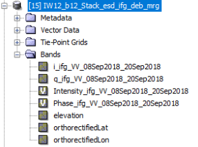
However, I noticed that the product name of the lat/lon bands is not latitude and longitude (as I initially thought), but orthorectifiedLat and orthorectifiedLon.
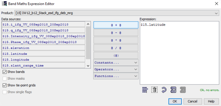
Maybe you can perform the merge again and then create bands with these names (in the context menu [add elevation band] and band maths [advanced expression editor > shor tie-point-grids]).
I tested it and added the bands after the merge:
and finally saved the product (this takes some time)
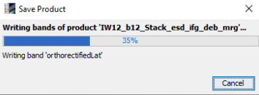
and there is no longer an error message:
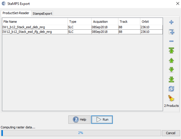
Result
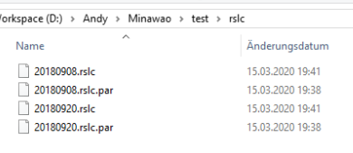
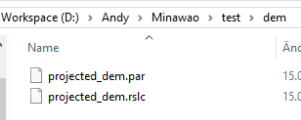
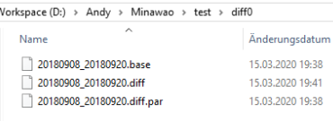
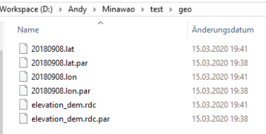
These are the exported folders
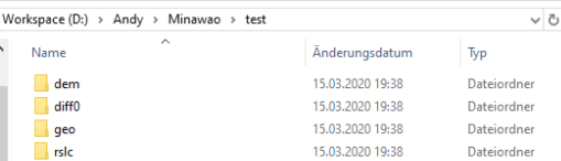
dem
diff0
geo
rslc