1-How to choose the appropriate IW When selecting IW1 as in the tutorials, The study area does not show me world view.when using IW3
The study area show in world view.
2-How to choose the appropriate polarization VV or VH.
3-How to know that the image is of high coherence.
1 Like
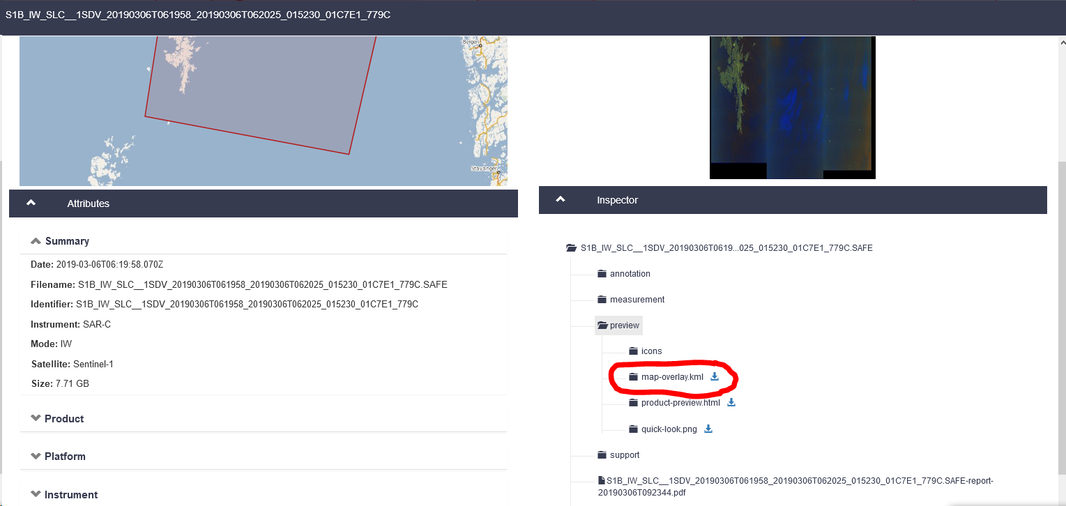
One solution (not perfect) is to check the kml file before the processing to display the footprint of your study area in Google Earth. You can download it without downloading the whole image by navigating to this folder in the sci-hub portal:
I personally would always suggest to only use VV. Here is why: Effect of polarization on interferometric products
The most factor contributing to decorrelation is time, so the shorter the time between your images, the (potentially) higher is the coherence. Then it is advisable to use images from the dry season or at least make sure that no rain occured before and during the acquisition of both images to reduce the impact of atmospheric water vapor and soil moisture. Lastly, the perpendicular baseline influences how well your InSAR phase is exploitable. There are some excellent documents on the selection of suitable images for interferometry by ESA: ESA - InSAR Principles: Guidelines for SAR Interferometry Processing and Interpretation<br>(ESA TM-19)
Have a look at B- 1.3 Selecting images for InSAR DEM generation
4 Likes
Thank you so much sir. I will follow the directions and try to solve the problem. Greetings and respect