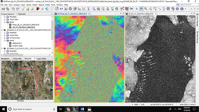
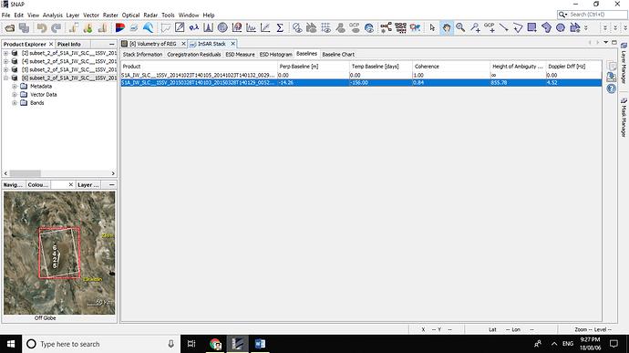
1- I calculated amount of displacement on REG LUT(Central Iran, wind sediments) along LOS.
2- Then, with the help of the cosine incident angle, the vertical displacement was calculated.
3- Now I want to calculate the amount of material transported (- values are sedimentation and + values are erosion).
4- If multiply the map above (Vertical displacement) to the pixel size InSAR map, the volume of the displaced material will be obtained!!!
Sedimentation and erosion are not coherent processes, so a DInSAR-approach will not work. The signal you are seeing is most probably atmospheric/ionospheric artifacts.
Thanks; Lut desert is one of the driest deserts in the world
Please explain why sedimentation and erosion are not coherent processes?
Coherence in repeat-pass InSAR is retained when the same (or nearly the same) scatterers are observed at two separate times. If the sedimentation/erosion processes are such that the observed scatterers change, coherence is lost. If sedimentation by river flow for example deposits another layer of scatterers on top of the older ones, coherence is usually lost.
Thanks for your reply:
What do you recommend?
Do you think that i can extraction of DEM by InSAR with a short Temporal baseline (6-12 day) and then, by subtracting, calculate the amount of displacement?
What is the accuracy of this method?
Is there any other way? (By InSAR method)
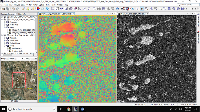
Is the dunes surface of LUT (REG LUT, Location: 30.259694, 59.451345 ) any coherence?
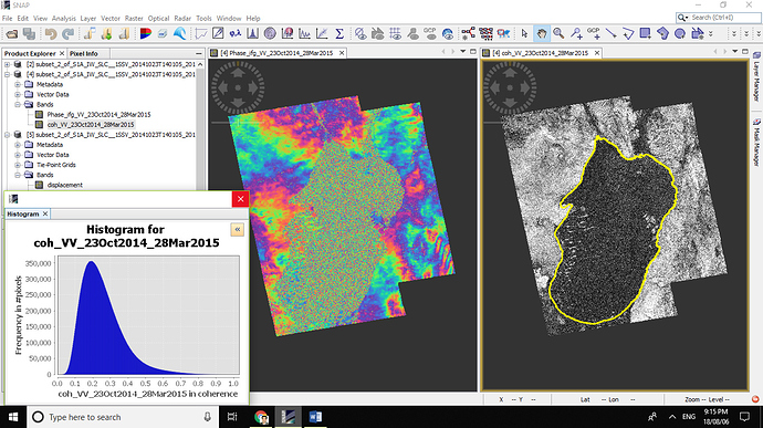
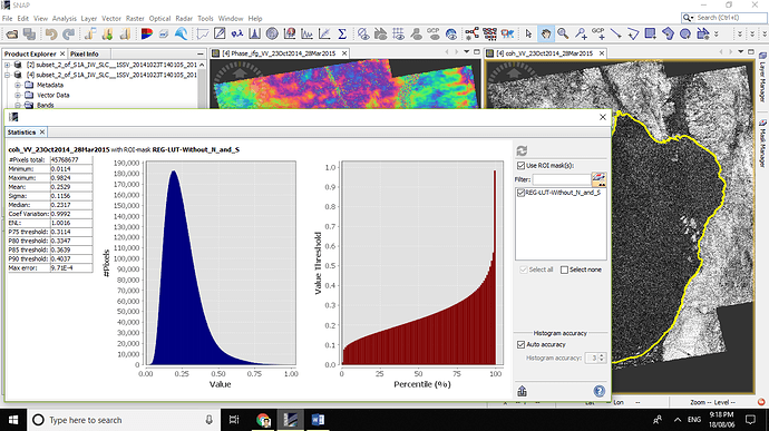
The Lut Desert looks like it has nearly zero coherence in the interferograms you processed. This is common for loose sand blown by the wind. The Sentinel-1A and -1B satellites are operated to keep the baselines short (usually less than 100-150 m). This means that forming DEMs from Sentinel-1 pairs will have very low sensitivity to elevation. In addition, interferograms with SAR images acquired on different dates will have phase changes due to atmospheric changes.
You would have better luck if you can get the TanDEM-X bistatic pairs from the DLR. Those are acquired with the TanDEM-X and TerraSAR-X at the same time so that there is no atmospheric change and they usually have longer baselines.
Thanks
How can be received this data? Is it free?
What software do you recommend for InSAR investigation?
please guide me
TanDEM-X is commercial but there is the chance to apply for a quota of data:
https://tandemx-science.dlr.de/
Have a look at the guidelines of “General Proposal submission”
SNAP/S1TBX supports TSX and TDX interferometry, except for spotlight-modes.
Will it mean if i subtract (displacement band derived from two pre-event images) from (displacement band derived from two post- event Images)??
Target it to find landslide displacement of a nearly 60m wide landslide.
Hello
No of displacements subtraction . but b of the DEMs (pre and past of earthquake). The new DEM is minus the old DEM, which actually represents the volume of displacement and location of the displacements.
Dear ABraun,
Will it be worth to unwrap these interferograms formed after DInSAR?
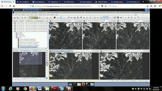
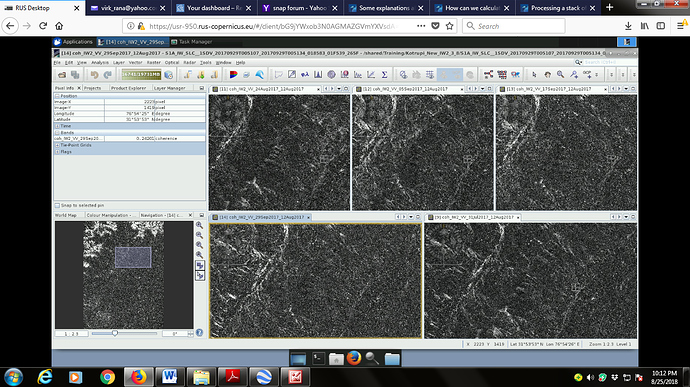
Coherence band of all is shown in screen shot. I wish to find landslide deformation around the cursor point lat lon.
Please guide.
regards ASVirk
If you are interested in changes within the white areas, it is worth a try. Given that the white areas range above 0.3. I cannot tell by looking at it, if the areas have high values or if it is just adjusted contrast.
Anything outside those areas is not usable.
A landslide is a non-coherent change, because the backscatter characteristics of a surface (all involved pixels) mostly change. InSAR is only able to measure elevation differences of coherent processes. Additionally, surface differences of the size of the wavelength (Sentinel-1 has 5 cm) can be observed at most per image pair. Anything larger (usually the case for landslides) cannot be measured.
See mengdahl’s comment here
