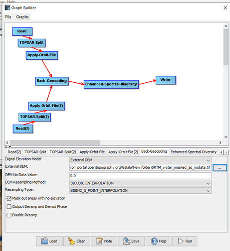
Hi everyone, I am using Sentinel-1 data to do InSAR research, then I found there are some water region in my working area, and may have some adverse effects when using snaphu to do phase unwrapping, it seems that SNAP cannot generate mask file for phase unwrapping , however, I occasionally find that in S1 TOPS Coregistration step, you can use “Mask out areas with no elevation” this option box to mask out some area which has no elevation in DEM.
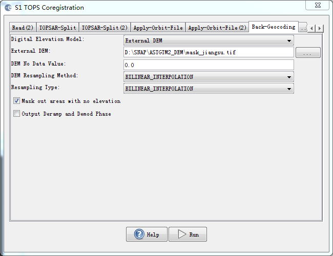
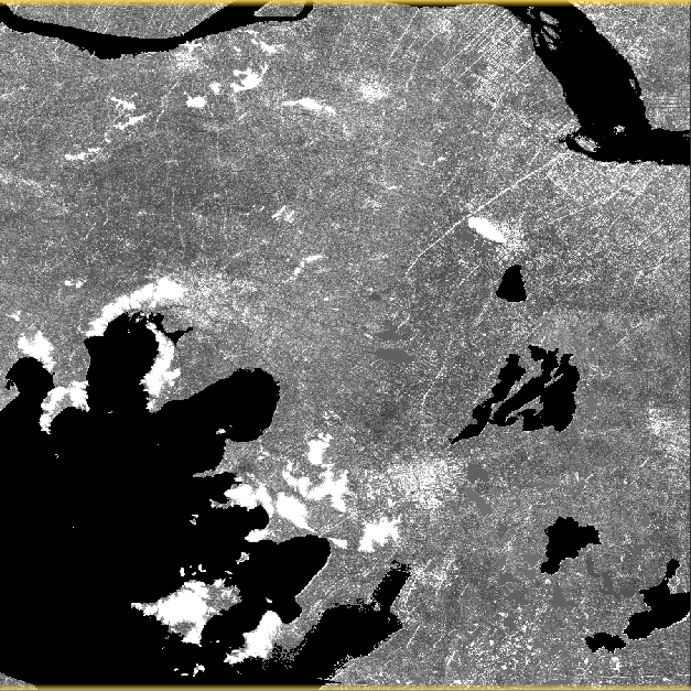
Usually the Downloaded DEM only has few area has no elevation(almost all in river or sea), so I choose to edit the DEM to mask out the water region, I use region growing algorithm to manually extract the water region and assign them value to zero, make them become no elevation area in Coregistration step.
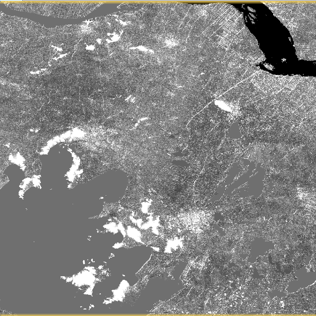
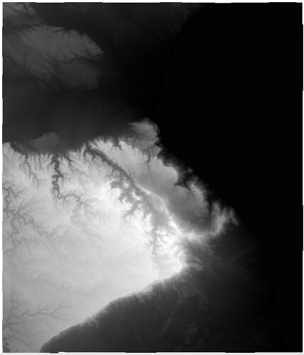
DEM before process:
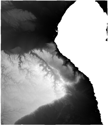
DEM after process:
the black area in DEM value equal to zero, means no elevation.
note: The DEM I use is ASTGTM2 data, which generated by NASA.
Then I continue the workflow as usual, Coregistration->Interferogram Generation->Deburst->Create Subset Image->Topo Phase Removal->Phase Filtering->Multilooking->Phase Unwrapping.
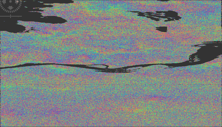
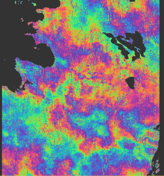
Interferogram:
Topo Phase Removal:
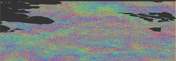
Multilooking:
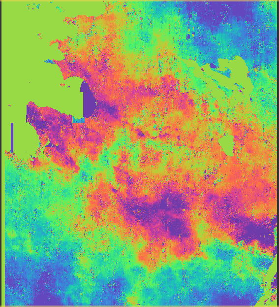
Phase Unwrapping:
We can see that it looks like creating a mask in whole processing step, and after masking the water area, it can generate better result in phase unwrapping.
So, here comes to my question, is it right to do so? I mean when I edit the DEM and mask the area no elevation in coregistration step, will it have bad influence on the quality of coregistration and even the continuous step?
And what if I choose not only mask the water area but also other self-define region, Does it make sense?
By the way, it seems that there exist some strange result in phase unwrapping figure, the Upper-left corner of the figure, at the junction of the water and land, some “blue box” out of the boundaries, what is happening?
