I’m doing some processing using Sentinel 1A SLC IW data,r I’m using 1pairs of S1 data:
12/2 2018 and24/2 2018
The processing chain I followed : Coregistration, Deburst, Interferogram, Filter (Goldstein), Unwrapping (TOPO) with Snaphu, Phase to elevation, Terrain Correction
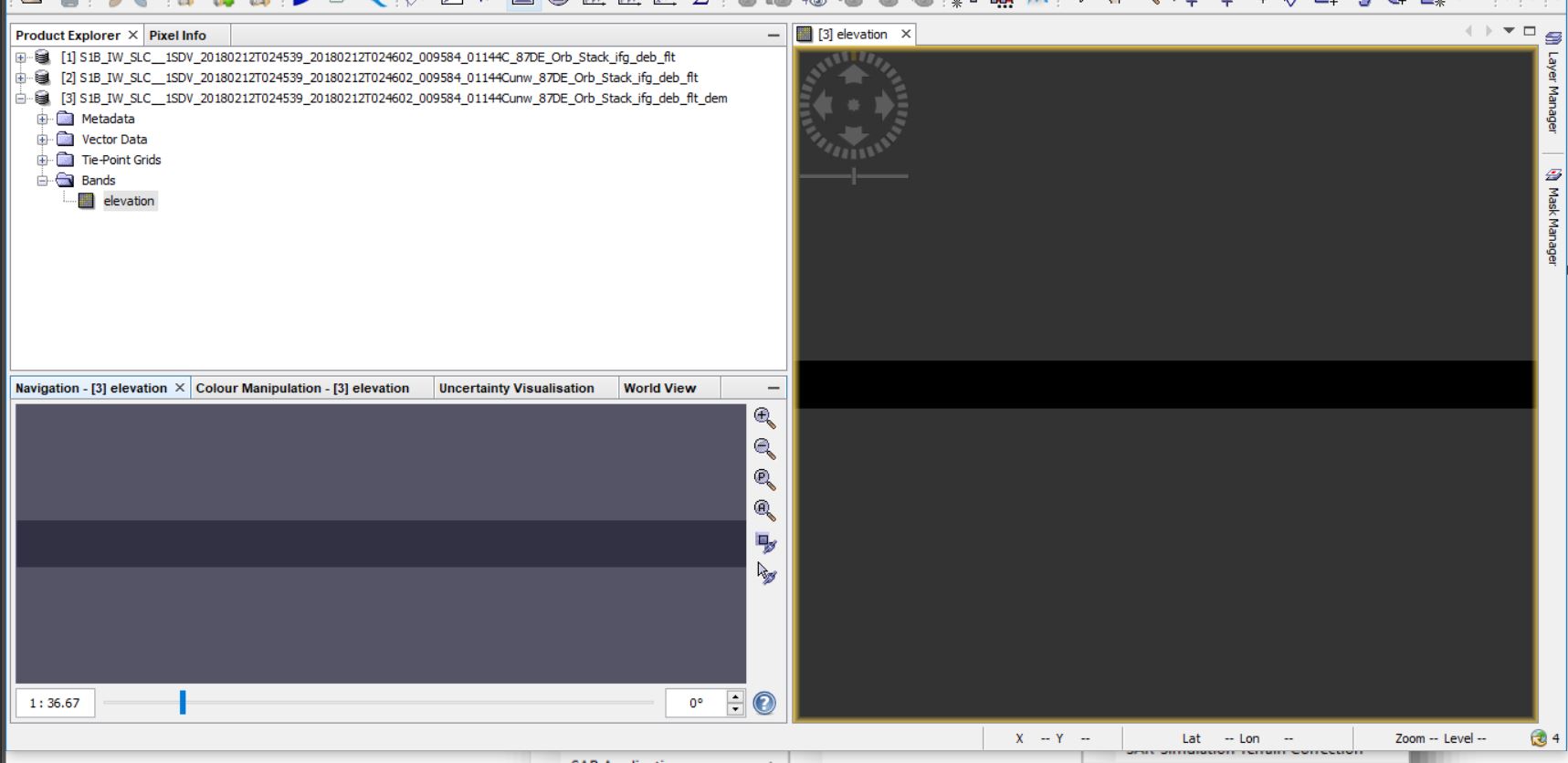
1-When the conversion is done from phase to elevation. The results are very dark as in the picture. What is the problem.
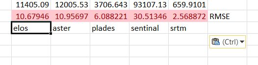
Thanks a lot. But the results were disappointing after comparing them with high accuracy data. Although data were large perpendicular baseline and a small temporal baseline.
please
I have a high accuracy DEM for the study area in a step I can use to increase accuracy.
the low accuracy has many reasons. But this is mostly the case for repeat pass approaches. I haven’t seen one InSAR DEM derived from Sentinel-1 which was better than what is freely available from SRTM or other sources. Maybe people expect too much from this technique.
In addition to what @ABraun says, you can make DEMs with Sentinel-1, but the satellite is clearly not designed for that. The revisit time is too large and the orbital tube is too narrow. You clearly see that DInSAR-based approaches are privileged (which is a good thing IMHO).
Students in internship in our institution tried their best to make DEMs over several regions but never achieved better results than the free ones.
Thank you very much. What is required of me as required by my scientific research is to obtain a high-resolution DEM from the radar images and the study area is not available on the data of Tan Dem and Terra SAR ( scientific and commercial).Is it a way to obtain high-precision data to produce the DEM from anther products.
C-band is quite sensitive to small changes so as long as the temporal baseline is 6 days and the perpendicular baseline is as short as currently observed, I see little chance that Sentinel-1 will be a suitable replacement to map a fully usable as a DEM.
Of course, this depends on the climate as well but whenever vegetation is involved, you rapidly lose quality.