hello,may I ask which tool I can use to remove the sentinel 1’s shadow,because my research area is in mountains,the shadow will afect my research deeply.
if you have a DEM of sufficient quality (resolution), you can
- Calibrate to Beta0
- Perform Radiometric Terrain Flattening
This normalizes backscatter intensity based on the slope of an area
hi,dear ABraun ,it’s very kind of you ,
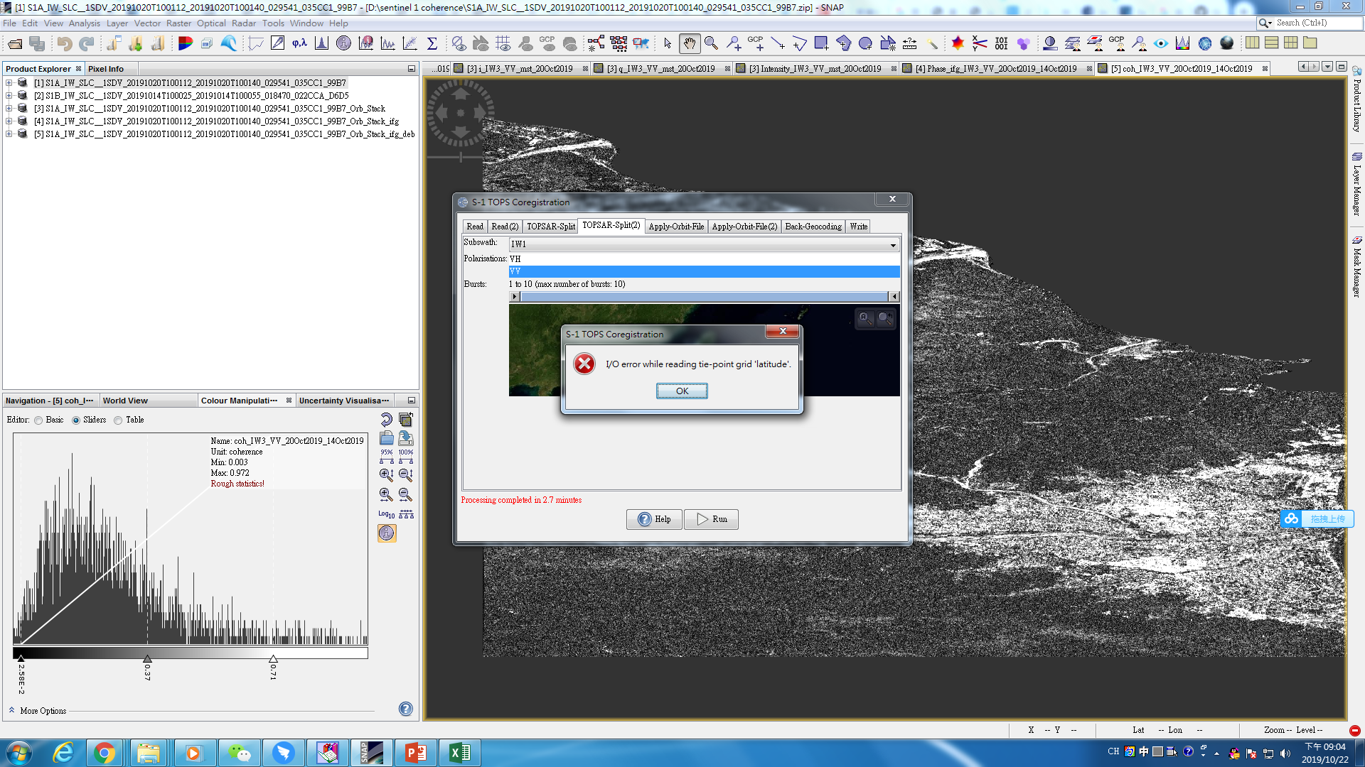
now i was Coregistering the Data ,but i do not understand why have the error
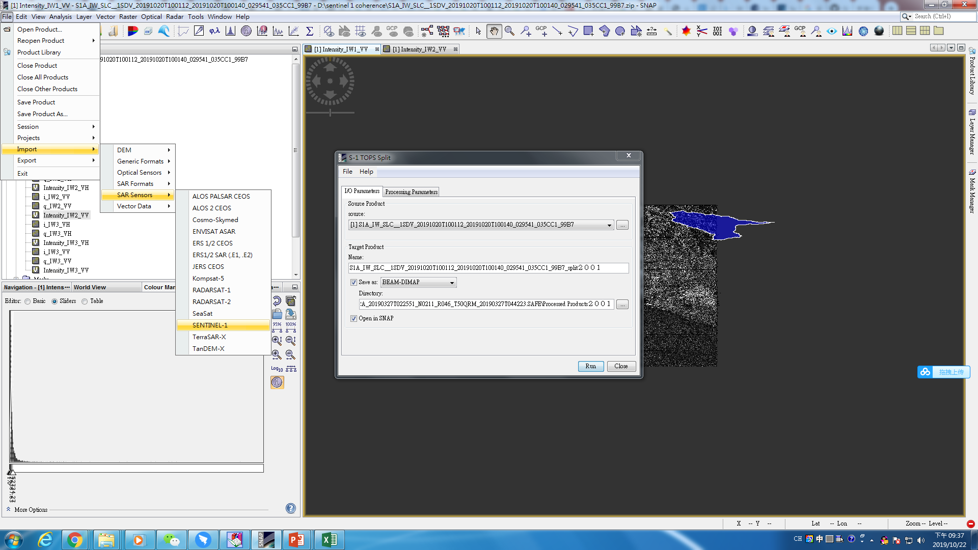
Did you use the Sentinel-1 import from the menu to load the data into SNAP?
I dragged the compressed file directly into snap. I have successfully processed IW3 before, and now I want to handle IW1 and IW2.
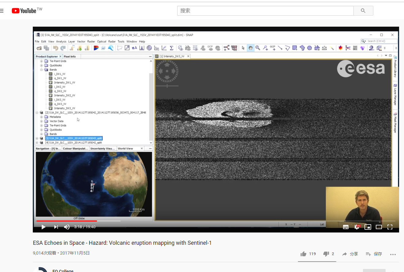
I just follow this file:ESA SNAP – Sentinel-1 Toolbox Differential SAR Interferometry using Sentinel-1 TOPS for Ground Displacement Measurements: The Philippines M6.9 Earthquake (Jul 6, 2017)
it is better to open Sentinel-1 data via the manifest.safe file in the top folder so SNAP reads all metadata correctly.
is it here to open?but dear,i have another quesion,i’m watching this vidio now,i find i didn’t do the step of split,will the step affect i get the coherence
yes, first load the original images into SNAP and then select them in the drop-down menu of the coregistration operator.
You can skip the split module but your images will be considerably larger.
Please help to keep this forum clean do not post questions on different topics in here. You can use the search function to find related topics where your questions might fit in better.
yes, basically any existing topic on differential radar interferometry.
thankes a lot for your reply.
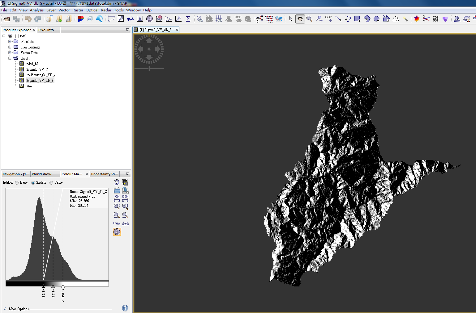
,this is the coherence of my reseach area,I just want to ask ,can i according to the coherence to judge Where is the impact of terrain changes relatively small? How to determine the threshold of coherence?
I cannot answer this by looking at the coherence. If you want to measure surface displacement, you can probably only get reliable result in the western part of the area (bright) because the other parts are decorrelated (dark).
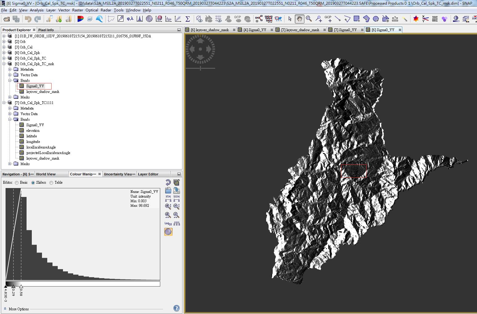
in fact,i just want to remove the shadow of mountains about sentinel 1,as you say : 1. Calibrate to Beta0
2. Perform Radiometric Terrain Flattening;need a DEM of sufficient quality (resolution),is 30 meters enough?
sure, if this is the best you have (30m is freely available) it is worth a try.
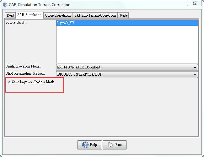
thanks a lot for your reply. could I ask whether some tool in SNAP can import sentinel 1’ parameter and DEM data to get the shadow in direct.
Yes, you can use the SAR Simulation Terrain Correction which has an extra option ro output shadow and overlay areas.
oh ,it’s so great,i will try
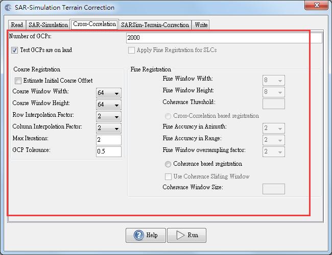
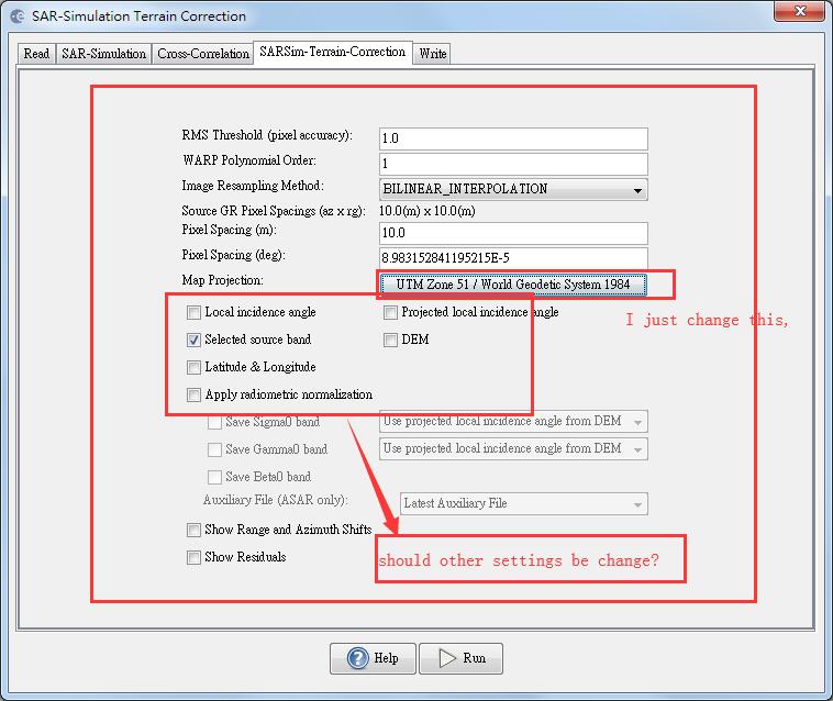
dear ABraun,I want to ask the settings for SAR Simulation Terrain Correction , any other settings should be changed?
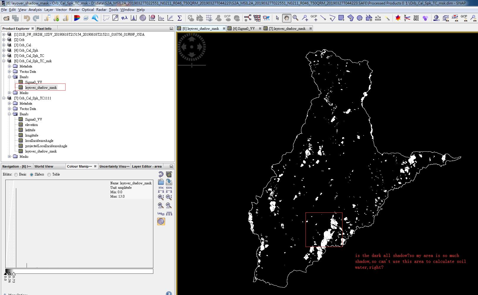
 so the shadow is so much?but if i want to use this area as my reseach area to calculate soil water ,what can i do else?