For Sentinel-2 Level-2 jp2 images
I use gdal_translate to obtain ~ 256x256 jp2 sub-images (for each band) around my location of interest.
But when I examine the resulting TCI_10m images as a time lapse in Irfanview I can see gross vertical shifts of 20 or 30m.
For example between these two successive sub-images:
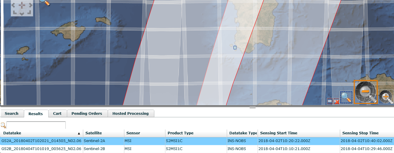
T32SMJ_20180402T102021_TCI_10m.jp2 (48.7 KB)
T32SMJ_20180404T101019_TCI_10m.jp2 (48.9 KB)
Examining their respective image headers, I can see no obvious reflection in the xml which might be used further down the line to correct for those shifts.
Does this mean I need to do it by hand?
My eventual aim is to automatically extract polygons of pixel values from the band images corresponding to smallish fields - where such arbitrary shifts would adversely effect the results.
I use gdalwarp in a shellscript for that purpose.
Polygons are created in Google MyMaps as kml files.