Hello.
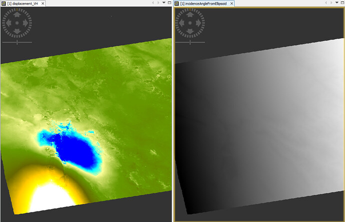
I would like to ask how can I have a image file of Azimuth values for each pixel?
for example if you have worked with SARScape you would saw that after the process, beside displacement image you have ALOS(Aimuth for each pixel) and ILOS(Incidence angle) image.
So if there is any thing that could help me I would really appreciate it.
Have you seen these topics?
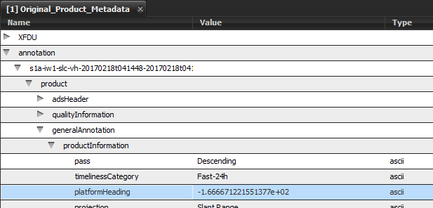
according to these topics, it is constant for all pixels (heading does not change in range direction) and can be found in the metadata

In fact the azimuth direction of a given point within the image is not equal to the platform heading.
The difference between the two is increasing with latitude and is varying in range.
You can refer to this:

