I would like to realize a supervised classification using sentinel 1A (GRD) images i did this steps with snap : radiometric calibration
speckle filtering
terrain correction ,
now i’m looking about steps to classifay my image? thank you for your help!
If you only have VV polarization classification is difficult. Typical supervised classification is based on samples which help to divide your feature space. But even if you have VV and VH, your feature space is only n=2 so your classes won’t be much distinctive. To increase your feature space you have the following options:
add image textures (GLCM module), but this should be done before speckle filtering. Speckle filtering destroys most of the image texture.
add images of different dates (dry and rainy season, for example)
add images of a different sensor
add topographic information (right-click > add elevation band)
…
As soon as you have a stack of bands with more than about 4 bands, supervised classification makes more sense. But if you are using inputs of different units (textures) you can no longer use the Maximum Likelihood or Minimum Distance classifiers. I’d recommend the Random Forest classifier.
thank you for your speed answer, yes it very helpful.
so I’m beginner with snap and sentinel 1.
My product GRD content to polaraisation HH AND VV .
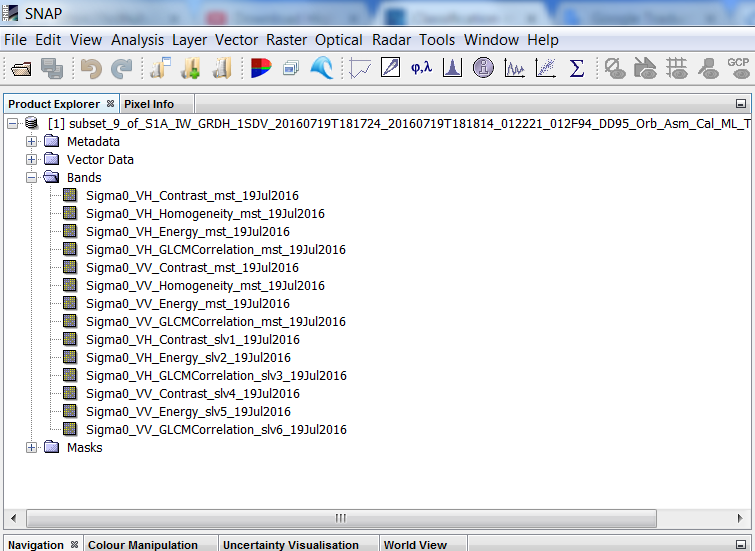
i added GLCM and elevation.
but when i would classify my image I dont know how to realize this steps with snap.
really I am blocked.
I need methodology .
thank you for you help.
This is explained here (the example is based on Sentinel-2 but it also works with a SAR data, textures and elevation)
I have never tried it but in the meanwhile they do not even need to belong to the same stack but can be added as different products in the classifier.
You can start based on this and ask for specific steps when you stumble upon problems. At best with a screenshot so we can help more effectively.
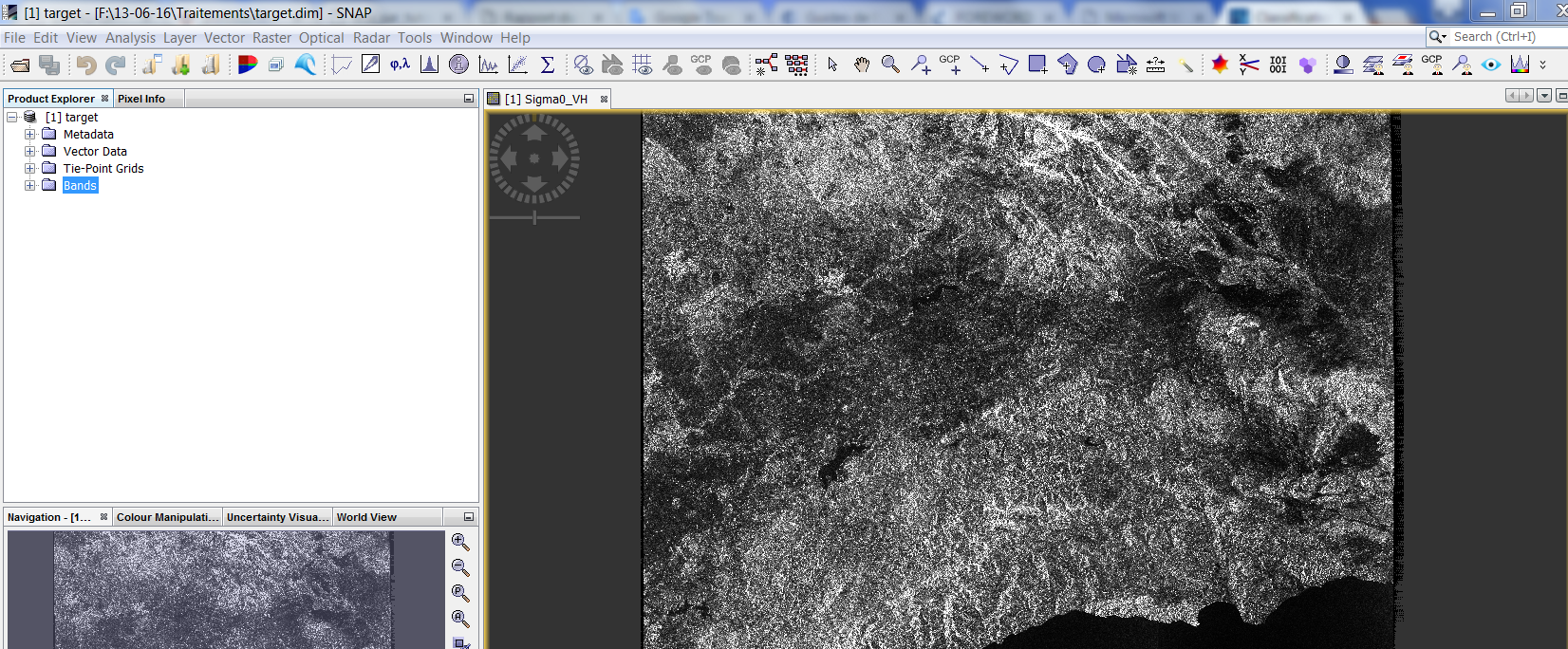
my question now how can i choose the region of interest and my image is black?
its so different about sentinel 2 .
what is the role of the backscattering?
I have to do something similar so I need to know if i get it rigth,:
Callibrate then GLCM, then with the GLCM do the filtering and the terrain correction?
and with the original callibrate images also do the filtering and the terrain correction?
so I will have all the GLCM and plus the 2 sigma 0vv and sigma0 vh?
Andreas is right about applying GLCM before filtering but Keep in mind that S1 is C-SAR with a moderate resolution. If in your future work dealing with high SAR resolution like COSMO-SkyMed I suggest you to apply filter before GLCM in order to get a result.
Calculating GLCM befofe Terrain Correction should be better because the intensities are not resampled yet.
Filtering the textures is not prohibited. If it enhances the information content, wyx not