I want to map the paddy crops using sentinel 1A and sentinel 2A data. Please guide me step by step procedure. do i have to classify both the images separately than it should be merged ??? please guide me.
Thanks!!
I want to map the paddy crops using sentinel 1A and sentinel 2A data. Please guide me step by step procedure. do i have to classify both the images separately than it should be merged ??? please guide me.
Thanks!!
We have quite lots of answers in this forum:
Image fusion
Agricultural applications and image classification
Try to get from these sources what is best for your study. Don’t just follow recipes, try to understand what is done and why.
If you are new to SAR analyses, there is a great online course on all kinds of radar applications:
https://eo-college.org/courses/echoes-in-space/
Synergetic use of S1 (SAR) and S2 (optical) data and use of analysis tools
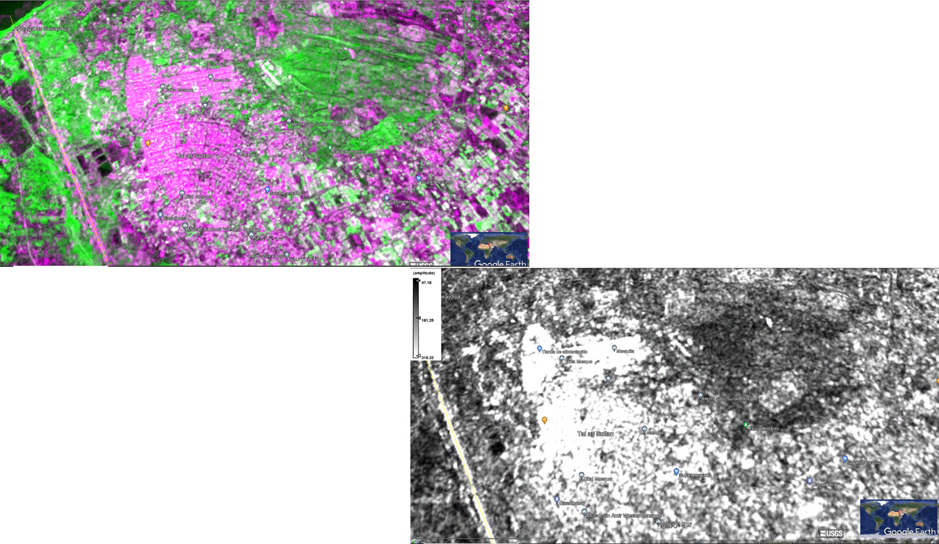
Hello all, I am trying a fusion between S2 and S1… Till now my results below!!!.. please comments about this