Hi
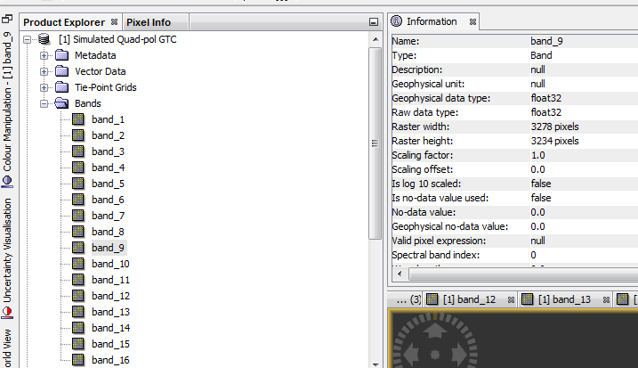
What’s the GTC image format? Is this similar to SLC image? I have a Quad pol GTC image with 16 bands. I don’t know what each band means (phase, amplitude, real or imaginary)
Thanks
1 Like
it means that its already ground-range corrected. Unlike SLC data the pixels’ areas are already of same size.
Astrium has made nice graphics for this case. They refer to TerraSAR-X but the principle is the same for most SAR satellites:
Slant Range Complex (SLC/SSC/L.1.1)
Data is neither multi-looked nor projected
Ground Range Detected (GRD/MGD/L1.5)
Data is multi-looked but not projected
Geocoded Ellipsoid Corrected (GEC/L2.0)
Data is projected but topographic distortions are still in the product.
EEC -Enhanced Ellipsoid Corrected (EEC/GTC/L2.1)
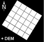
Data is projected and geometric distortions caused by the terrain have been removed by a DEM.
11 Likes
sorry, I don’t even have a guess 
Where did you get the data from?
Which sensor made the data?
What pre-processing steps have been performed?
This data is related to agrisar campaign and is without any preprocessing.This dataset is the simulated sentinel 1 image from radarsat-2 FQ.
I’m not very familiar with airborne systems but there should also be any metadata files which state which band contains which information, I guess .
Please find the working link to the Airbus TerraSAR-X documentation (e.g. product guide) here:
https://www.intelligence-airbusds.com/en/228-terrasar-x-technical-documents